Best Landmannalaugar Day Hikes: Bláhnúkúr, Brennisteinsalda & Short Loops
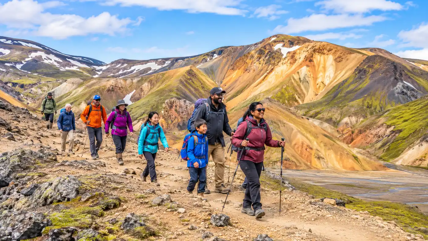
If you ask five Icelandic park rangers to name the best hikes in landmannalaugar, you will likely get five different answers, though each one revolves around the same surreal backdrop of ochre, teal, and charcoal ridges. The moment you step out of your vehicle at the main campsite, the air smells of sulfur mixed with damp moss. Jagged obsidian fields spill right into the edge of the river flats, while bare volcanic domes roll back as far as you can see. It feels far less like earth and more like an unfinished geological painting.
Most visitors only have a single afternoon to take it all in before catching an evening bus back to the coast. That time crunch creates a dilemma because the trail network sprawling out from the wardens' hut is surprisingly dense. Whether you have 90 minutes to spare or a full eight hours to push deep into the back ridges, picking the right route makes the difference between battling loose scree in thick cloud and getting panoramic views across half the southern Highlands.
Overview and Comparison of the Best Hikes in Landmannalaugar
Landmannalaugar sits in the Fjallabak Nature Reserve, right on the edge of the Torfajökull volcanic system. The rock here is rhyolite, a silica-rich volcanic stone that weathers into shades of yellow, pink, dusty green, and rusty red. Because the bedrock is soft and crumbly, the trails vary from easy wooden boardwalks over steaming marshland to steep ridges with narrow, slippery footpaths.
The wardens keep a clear wooden information board outside the service hut showing the official landmannalaugar gonguleid routes. Each trail is marked with painted wooden stakes, though colors sometimes fade under winter snowpack, and a route can branch unexpectedly into a sheep track if you stop paying attention. Knowing your elevation profile and turnoffs beforehand saves a lot of backtracking.
| Trail Route | Distance | Elevation Gain | Average Time | Difficulty |
|---|---|---|---|---|
| Laugahraun Lava Loop | 4.3 km | 80 m | 1.5 hours | Easy |
| Brennisteinsalda (Sulphur Wave) | 6.5 km | 290 m | 2.5 to 3 hours | Moderate |
| Bláhnúkúr (Blue Peak) | 6.1 km | 380 m | 2.5 to 3.5 hours | Challenging |
| Bláhnúkúr - Brennisteinsalda Combo Loop | 9.7 km | 620 m | 4.5 to 5.5 hours | Strenuous |
| Suðurnámur Ridge | 8.5 km | 410 m | 3.5 to 4 hours | Moderate-Strenuous |
| Ljótipollur Crater Lake | 13.2 km | 310 m | 4 to 5 hours | Moderate |
For anyone planning a landmannalaugar one day hike, the sweet spot is almost always either a single peak ascent or the classic combo loop that ties both main summits together. If you are arriving on an organized day trip landmannalaugar schedule, your window on the ground is usually around four to five hours, making the loop tight but very manageable if your boots are already tied.
Book your landmannalaugar hike experience:
The Classic Summit: Bláhnúkúr Hike (The Blue Peak)
Rising 945 meters directly behind the campground, Bláhnúkúr looks like a massive heap of dark blue and grey volcanic ash dropped into a sea of orange gravel. The landmannalaugar blahnukur hike is easily the steepest and most dramatic direct climb from the valley floor. It delivers the most recognizable vantage point in the entire region, looking straight down onto the obsidian teeth of the Laugahraun lava field.
You start by crossing the footbridge over the river flats before following yellow-tipped stakes up a sharp spur. The pitch kicks up fast. Within 20 minutes, your calves will feel every step of the gravel switchbacks. The wind off the ice caps hits you as soon as you clear the lower shoulder, so keeping a warm hat in your pocket is smart even if the sun was baking the campsite parking lot.
Pro tip: Hike Bláhnúkúr counterclockwise if you tackle it alone, ascending the steep northern trail directly from the camp and descending the gentler southern ridge toward the Grænagil canyon to spare your knees on the loose scree.
The summit crest narrows to a foot-wide path along a spine of blue-green dacite rock. On a clear afternoon, you can spot five distinct glaciers on the horizon, including Hekla, Eyjafjallajökull, and Mýrdalsjökull. Going down the back side toward the riverbed leads through Grænagil, a gorge cut from vibrant green stone that looks almost unnatural in bright sunlight.
Brennisteinsalda Hike: The Steaming Sulphur Wave
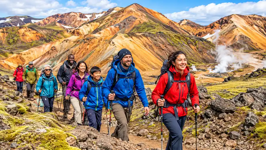
If Bláhnúkúr feels dark and brooding, Brennisteinsalda is pure, unhinged color. Often called the Sulphur Wave, this 855-meter landmannalaugar volcano peak is striped with bands of yellow sulfur, brick red iron deposits, black basalt, and patches of bright green moss. Plumes of geothermal steam hiss continuously from solfataras near its base, scenting the entire trail with that familiar rotten-egg sulfur bite.
The climb begins along the wide path heading south into the Laugahraun lava field, weaving between tall obsidian monoliths. After passing through the lava edge, the trail opens into a geothermal plain where boiling water bubbles up inches from the dirt track. Do not wander off the path here. The ground crust can be fragile, and the mud underneath runs scalding hot.
The climb up the western shoulder of the peak is steady and well graded compared to the Blue Peak. You share the first portion of this trail with hikers heading out on the multi-day Laugavegur trek, so it is usually the busier landmannalaugar trail in the middle of the day. Once you turn off toward the summit cone, the path steepens, bringing you to a windy plateau with striking views of the Vondugil valley below.
The Ultimate Landmannalaugar Loop Hike: Combining Both Peaks
If your legs have the stamina and you have five open hours, combining Bláhnúkúr and Brennisteinsalda into a single landmannalaugar loop hike gives you the quintessential highland experience. There is no single trail that shows you more geological diversity in ten kilometers anywhere else in the country.
I think the most rewarding direction is starting with Brennisteinsalda first. You wind gently through the lava fields while your legs are cold, summit the colorful peak, and then descend into the broad, braided gravel basin of the river that separates the two mountains. Standing in that wash feels totally isolated, surrounded on all sides by silent, rippled rhyolite ridges.
From the riverbed, you face the steep eastern climb up Bláhnúkúr. It is an honest, grinding ascent where you will probably stop every three minutes to look back at the steaming flanks of Brennisteinsalda across the valley. Take your time on the loose scree. Once you hit the summit of Bláhnúkúr, the long descent takes you right down to the footbridge and straight back to the warmth of the campsite.
Book your landmannalaugar hike experience:
Short and Sweet: Laugahraun Lava Field Hike
Not every visit calls for a quad-burning summit run. If the clouds drop low and cover the tops in freezing mist, climbing the peaks is pointless because you will see nothing beyond ten yards of grey fog. That is when the laugahraun lava field hike shines as the best landmannalaugar short hike on the map.
The lava field formed during an eruption around the year 1477 when a fissure opened beneath the Torfajökull system. Because the cooling molten rock was thick with silica, it formed smooth, glassy obsidian and blocky rhyolite instead of the porous basalt typical of coastal Iceland. Walking through it feels like wandering through a maze of shattered black glass.
- Family-friendly terrain: Most of this landmannalaugar short loop follows a gentle, level path without steep exposures.
- Weather resistance: The trail stays sheltered between lava walls, making it manageable during high wind days.
- Geothermal wonders: The path cuts directly past steaming fumaroles and bubbling warm mud pools on the valley floor.
- Quick return: At just over four kilometers, you can complete the entire circuit in under two hours at an easy stroll.
The loop hugs the base of Brennisteinsalda before turning back along the Grænagil canyon. It is an ideal warm-up or an easy alternative if you are nursing tired knees after several days on the road.
Going Deeper: Grænihryggur Hike and Jökulgil Canyon
Hikers wanting to leave the crowds behind should look east into Jökulgil, the canyon that carves deep into landmannalaugar's rhyolite mountains. The name translates roughly to Glacier Ravine, a long and twisting valley bordered by sheer, multi-colored cliffs. In the 1800s, local farmers believed outlaws hid their stolen sheep herds inside Jökulgil because nobody dared to follow the unpredictable river inland.
Branching off from this eastern wilderness is the graenihryggur hike, which leads to the famous Green Ridge. Grænihryggur is a razor-thin, pale turquoise crest of altered hyaloclastite rock that looks like an emerald serpent lying across a barren mountain saddle. Getting there is not a casual walk. The full trek spans between 16 and 19 kilometers depending on where you leave the riverbed, and it requires navigating unmarked gravel washes.
Note: Hiking toward Grænihryggur or into Jökulgil requires crossing unbridged glacial streams on foot. Never attempt these deeper trails if heavy rain has fallen during the previous 24 hours, as river levels can swell quickly.
You will need a solid GPS track, paper topography maps, and waterproof sandals for river fordings on this route. Honestly, it is one of the most wild and quiet walks in Iceland, but it demands respect. Getting lost in the maze of jokulgil landmannalaugar can turn a four-hour afternoon into an overnight rescue situation very quickly.
Practical Tips for Hiking Trails in Landmannalaugar
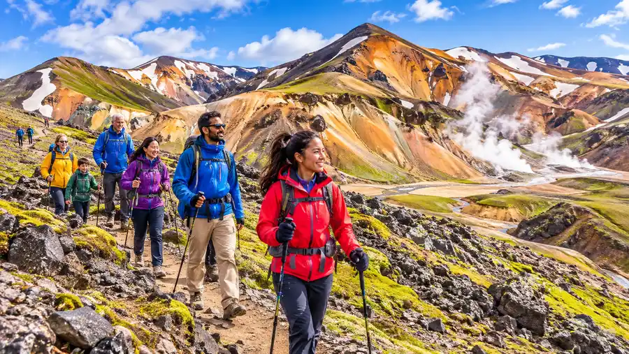
Conditions in the southern Highlands can shift from bright sunshine to blowing sleet in fifteen minutes flat, even during the peak of July. The wind picks up speed across the open plains, stripping heat away faster than you would expect. Proper preparation turns what could be a miserable, shivering trek into an unforgettable day out on the trail.
Transportation is another key detail. Before you head out, make sure you understand the logistics of getting to Landmannalaugar, particularly if you are self-driving and must cross the rough river ford just outside the parking compound. If your vehicle cannot clear deep water, park on the near side of the river and walk across the footbridge.
- Layer up early: Always pack a windproof, waterproof hardshell jacket and rain pants, no matter how clear the sky looks at breakfast.
- Footwear choices: Wear sturdy, ankle-supporting hiking boots with deep tread; the rhyolite sand is loose, sharp, and quickly shreds running sneakers.
- Bring trail food: There is a small converted green school bus selling snacks at camp, but prices are steep and options are basic, so bring your own calories.
- Pack a swimsuit: Soaking in the natural stream after your trek is unmatched, so check out our Landmannalaugar hot springs guide for practical tips on water temperatures and changing facilities.
Always stop into the warden's office before you head up the peaks. They have updated daily weather forecasts taped to the windows and can tell you if high winds make crossing the exposed ridge of Bláhnúkúr dangerous on that particular day.
Book your landmannalaugar hike experience:
Frequently Asked Questions about best hikes in landmannalaugar
What is the single best day hike in Landmannalaugar if I have limited time?
If you have three hours, climb Brennisteinsalda. The trail offers the highest diversity of scenery per kilometer, taking you through the obsidian lava field, right past steaming geothermal vents, and up to a colorful panoramic peak without being as physically punishing as Bláhnúkúr.
Can you do a day hike in Landmannalaugar without a guide?
Yes, absolutely. The main trails around the camp - including the Laugahraun loop, Bláhnúkúr, and Brennisteinsalda - are marked with painted stakes. You only need a guide if you plan to navigate off-trail routes like Grænihryggur or cross swollen glacial rivers deep inside Jökulgil canyon.
Are the hiking trails in Landmannalaugar safe for beginners?
The Laugahraun lava field hike is safe and accessible for almost any fitness level. Summiting the peaks requires moderate balance and steady footing on steep gravel slopes, but there are no technical climbing sections or severe vertical drops along the main marked paths.
Can I hike a section of the Laugavegur Trail on a single day trip?
Yes. The first stage of the Laugavegur runs right over the shoulder of Brennisteinsalda toward the Hrafntinnusker hut. Day hikers often walk as far as the Stórihver geothermal spring, roughly 6 km from camp, before turning around for a very scenic 12 km out-and-back day trek.
Quick Reference
- Trail season runs from late June through mid-September
- Bláhnúkúr summit sits at 945 meters elevation
- Main loop hikes take between 2.5 and 5.5 hours
- Sturdy, ankle-high hiking boots are essential on loose rhyolite
- Geothermal wading pool is free to use next to the camp
Before You Lace Up
There is no place on the planet quite like Landmannalaugar. The sheer scale of the colors, from charcoal obsidian flows to sulfur-tinted mountainsides, looks like something pulled from fantasy. Pick a trail that fits your fitness, check the clouds rolling over the ridge, tie your boots securely, and step out into one of the wildest corners of the Icelandic Highlands.
Read more about landmannalaugar hike.