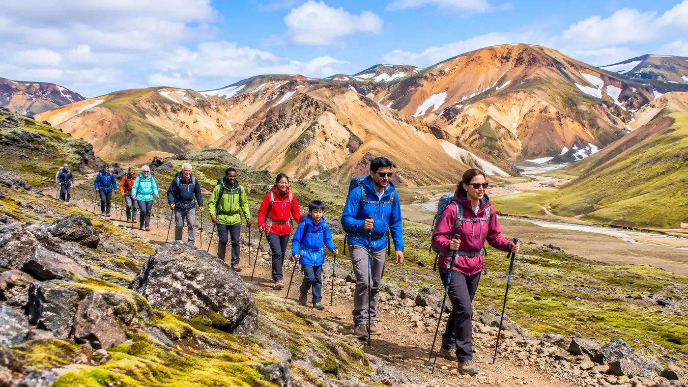
Laugavegur & Fimmvörðuháls Hike: Extending the Trek to Skógar
Most hikers finish at Þórsmörk, drop their heavy packs outside the hut, and crack open a cold beer thinking the journey is over. That is a massive mistake. Tacking on the high mountain pass toward the southern coast turns an already memorable walk into the laugavegur and fimmvorduhals trail, a relentless 78-kilometer crossing through the beating heart of Iceland's volcanic spine. You move from the bubbling sulfur vents of the southern Highlands through silent black deserts, cross milky glacial currents, clamber over fresh basalt born during the 2010 eruptions, and end right beside the thundering curtain of Skógafoss.
The transition between landscapes feels jarring in the best way. One afternoon you are trudging through green birch woods in a sheltered valley, and five hours later you are balancing along a knife-edge volcanic ridge squeezed tight between two massive ice caps. This guide covers how to stitch these two famous routes together into a seamless backpacking trip, whether you plan to sleep in pre-booked warden huts or carry your own nylon home against the sub-Arctic winds.
Book your landmannalaugar hike experience:
Planning the Laugavegur & Fimmvörðuháls Trek: Route Overview & Map
A standard Laugavegur trek runs roughly 54 kilometers from Landmannalaugar down to the woodland sanctuaries of Þórsmörk. Adding Fimmvörðuháls slaps another 24 kilometers and roughly 1,000 meters of vertical climbing onto your legs. While elite trail runners occasionally blast through the whole corridor in under twelve hours, sane backpackers carrying twenty kilos of food and wet-weather gear need between five and six days to absorb the route without wrecking their knees.
Looking closely at any good laugavegur and fimmvorduhals trail map, the topography divides itself naturally into distinct geological chapters. The northern half is all rhyolite paintwork, boiling vents, and fragile snow bridges. The middle section drops through wide obsidian plains where wind flings grit at your face for hours on end. Once you cross the glacial river Þröngá into Þórsmörk, the trail transforms entirely. The Fimmvörðuháls pass sends you straight upward onto a high volcanic plateau nestled between the Eyjafjallajökull and Mýrdalsjökull glaciers before dropping you along the Skógá canyon.
I think the best way to tackle the laugavegur & fimmvorduhals trek is over six days. Taking six days gives you an overnight breather in Þórsmörk, which your joints will thank you for after the quad-busting descent from Emstrur. Some people push straight through from Emstrur to the pass hut in one monstrous push, but rushing leaves zero room for weather delays or simply sitting on a rock to stare at the tongue of a glacier.
| Stage | Distance | Elevation Change | Average Time | Terrain Character |
|---|---|---|---|---|
| Landmannalaugar to Hrafntinnusker | 12 km | +470 m | 4 to 5 hrs | Steaming vents, rhyolite scree, slushy snowfields |
| Hrafntinnusker to Álftavatn | 12 km | -490 m | 4 to 5 hrs | Gullies, steep mud descents, first cold river ford |
| Álftavatn to Emstrur (Botnar) | 16 km | -40 m | 5 to 6 hrs | Black sand plains, green cone peaks, deep river wading |
| Emstrur to Þórsmörk (Langidalur) | 15 km | -300 m | 5 to 6 hrs | Narrow ravines, birch copses, swift river crossing |
| Þórsmörk to Fimmvörðuháls Pass | 12 km | +900 m | 5 to 6 hrs | Chains, steep exposed ridges, new lava fields |
| Fimmvörðuháls to Skógar | 12 km | -1,000 m | 4 to 5 hrs | Gravel tracks, coastal shelf views, canyon with 26 waterfalls |
The elevation profile surprises many hikers who assume Iceland is mostly flat coastal road. You begin around 600 meters above sea level at the geothermal hot springs, climb to over 1,000 meters near Hrafntinnusker, plunge back down to roughly 200 meters in the valleys around Þórsmörk, and then immediately climb right back up to 1,067 meters on the pass. Your quads and calves are worked constantly.
Tackling the Laugavegur Trail Extension: Þórsmörk to Skógafoss
The moment you step past the signposts at Básar or Langidalur, the personality of the walk shifts dramatically. This is the official laugavegur trail extension, and it feels far more alpine than the rolling deserts behind you. You climb out of the stunted birch woods through the slopes of Morinsheiði, where the ground drops off sharply into deep, black gorges carved out by glacial runoff. To your left, the ice cap of Mýrdalsjökull looms vast and cold.
The infamous spine known as Kattarhryggir (Cat's Spine) comes early in the climb. It is a narrow ridge of packed gravel with steep drop-offs on either flank. If heights make your stomach churn, this section will demand your full attention, though on clear, calm days it looks more terrifying in photographs than it feels under your boots. Shortly after, you reach Heljarkambur (Hell's Ridge), where a short, steep pitch requires holding onto a fixed chain anchored into the rock. It is not technical climbing, but it gets the heart racing when mist turns the volcanic stone greasy.
Pro tip: Fill your water bottles to the brim before climbing away from the valley floor in Þórsmörk. Once you gain the plateau at Morinsheiði, surface water vanishes entirely into porous volcanic ash until you reach the meltwater streams near the pass hut roughly eight kilometers later.
Beyond the chain, you enter the youngest landscape on earth: the lava fields of Goðahraun, formed during the spring 2010 Eyjafjallajökull eruption. The ground here still smells vaguely mineral and burnt. You pass right between the two newly minted volcanic craters, Magni and Móði, named after the sons of Thor. If you scrape a few inches beneath the red scoria rock on a cold morning, you can still feel thermal heat radiating out of the earth.
From the pass, the descent toward the ocean along the Skógá river is sheer joy. You follow a deep canyon churning with dozens of separate cascades, each one tumbling over basalt shelves toward the green coastal farmlands below. Finishing this landmannalaugar to skogafoss route by walking straight out into the spray of Skógafoss itself is about as theatrical as hiking gets anywhere on the planet.
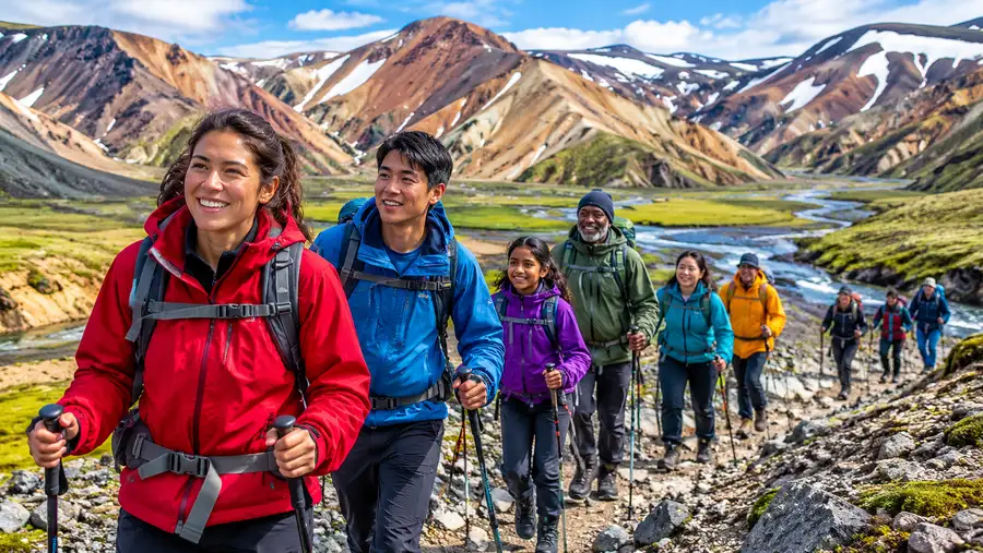
Landmannalaugar to Skógar Hike: Logistics, Huts, and Camping
Accommodations dictate how you pack for the laugavegur & fimmvorduhals combined trek. The mountain huts managed by Ferðafélag Íslands (FÍ) and the Útivist association are comfortable, heated sanctuaries with communal kitchens, gas stoves, and dry bunk rooms. They also sell out almost the exact day bookings open in the late autumn for the following summer season. If you want a mattress under a roof, you need to reserve eight to nine months in advance without hesitation.
Tent camping offers pure freedom, but it demands serious equipment. Highland weather treats flimsy summer festival tents like tissue paper. You need a sturdy three-season or four-season shelter with aluminum poles, robust guy lines, and heavy-duty stakes that can bite into loose volcanic gravel. Camping is only permitted in designated areas directly adjacent to the official huts to protect the fragile mosses and soils of the nature reserves.
Note: Camping on the high Fimmvörðuháls pass itself is strictly prohibited due to severe weather hazards and the absence of sanitation facilities. You must plan your hiking schedule to push straight through from Þórsmörk to the coastal campsite at Skógar in a single day, or secure a confirmed bed inside the Baldvinsskáli hut.
Finding a spot to sleep along the laugavegur trail to skogar requires balancing mileage against shelter availability. You have several strategic decisions to make, especially when transitioning out of the Laugavegur section:
- Hrafntinnusker hut: Cold and windy at 1,000 meters elevation, surrounded by persistent snowfields, but breaks up the initial climb from Landmannalaugar nicely.
- Álftavatn vs. Hvanngil: Álftavatn sits beside a gorgeous lake with a tiny bar-restaurant, while Hvanngil is five kilometers further, smaller, quieter, and sheltered better from southerly gales.
- Þórsmörk options: You can stay at Langidalur (run by FÍ, directly on the Laugavegur route), Básar (run by Útivist in Goðaland, ideal starting point for the pass), or Volcano Huts in Húsadalur (private cabins, hot sauna, restaurant).
- Baldvinsskáli: A triangular A-frame hut situated right near the high point of the Fimmvörðuháls pass, holding only 24 bunks with simple gas cooking facilities and emergency shelter.
If you need deeper logistics on securing your permits, consult our comprehensive guide to Landmannalaugar & Laugavegur huts and camping before locking down non-refundable travel dates.
Book your landmannalaugar hike experience:
Weather, River Crossings, and Trail Hazards
Nobody completes the landmannalaugar to skogar hike without getting wet. It is not a question of whether it will rain, but how hard the wind will drive the water through your jacket seams. Summer temperatures hover between 5 and 13 degrees Celsius, dropping down near freezing whenever a front pushes Arctic air off the ice sheets. Snowstorms on the high passes in mid-July are common. Hypothermia is the single biggest medical threat on these trails, sneaking up on hikers who let their base layers become soaked with sweat or precipitation.
Unbridged glacial river crossings are another trial altogether. Between Landmannalaugar and Þórsmörk, you must ford three to four freezing channels on foot, depending on seasonal trail reroutes. The water looks milky brown or silt-grey, completely masking the rocks beneath. Temperatures run just barely above zero. The Bláfjallakvísl and the Þröngá rivers are typically the deepest, easily hitting mid-thigh or higher early in the summer season when warm days melt the glaciers rapidly.
Fording these torrents requires patience and a total lack of ego. Stash your boots safely on top of your pack, step into secure neoprene water shoes, unbuckle your backpack waist belt completely, and face upstream as you shuffle sideways. Keeping the waist belt unclipped ensures that if you lose your footing and get swept into the current, you can slip free of the heavy pack instantly rather than being dragged under by twenty kilos of nylon and soaked down clothing.
- Wading footwear: Sturdy closed-toe sandals or neoprene river booties with rubber grip soles are mandatory; never cross barefoot or in slippery flip-flops.
- Trekking poles: Indispensable for establishing three points of contact on wet, rounded river stones in heavy current.
- Waterproof layering: Pack a dedicated dry bag for your sleeping bag, camp clothes, and electronics, because generic pack covers blow off in gale-force gusts.
- Pack weight discipline: Keep your total base weight under 14 kilos before adding rations, because heavy packs turn slippery ridge crossings into miserable struggles.
Before packing your bags, take twenty minutes to review our detailed advice on Laugavegur packing lists and river crossing gear to ensure you do not show up with cotton hoodies or leaky rain pants.
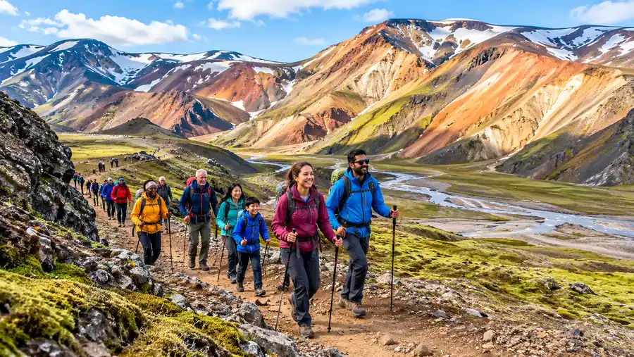
Transportation and Luggage Logistics for Landmannalaugar Skógar
Connecting the transit dots for a point-to-point hike through Iceland's interior is simpler than it looks, thanks to an efficient summer bus network. Specialized 4x4 highland buses run daily from the BSI bus terminal in downtown Reykjavík to Landmannalaugar from late June through early September. Standard rental sedans cannot legally or practically drive the rocky highland F-roads leading inland, so public transit or pre-arranged super jeeps are the standard way in.
Because you finish your hike at Skógar along the paved Ring Road on the southern coast, catching a ride back to the capital is painless. Public Strætó bus route 51 stops right outside the Skógar transport turnoff several times daily, whisking hikers back to Reykjavík in about three hours. Alternatively, tourist coach operators like Trex and Reykjavík Excursions operate hiker-pass tickets that bundle your outbound Highland drop-off with a flexible coastal pickup voucher valid whenever you finish.
Hikers carrying heavy excess baggage face an obvious dilemma: you cannot drag your airport duffel bag through 78 kilometers of mud and snow. Thankfully, Highland bus companies offer luggage transfer services. For a fee of roughly 4,000 to 6,000 ISK per bag, they will pick up your street clothes in Landmannalaugar, carry them around the perimeter of the mountains, and safely store them at the warden station in Þórsmörk or have them forwarded down to a south coast depot. It makes combining the wilderness trek with a wider vacation around the island remarkably convenient.
Frequently Asked Questions about laugavegur and fimmvorduhals trail
How many days does the laugavegur and fimmvorduhals trail take?
Most backpackers finish the full 78-kilometer route in 5 to 6 days. A 6-day split breaks down into four days on the Laugavegur from Landmannalaugar to Þórsmörk, followed by an overnight rest and a two-day traverse over Fimmvörðuháls to Skógar, though fit hikers often tackle the final pass in a single 8- to 10-hour day.
Can you hike the combined route in reverse from Skógar to Landmannalaugar?
Yes, though it is far less common. Hiking north means tackling a punishing 1,000-meter climb straight out of Skógar on day one with a heavy food pack. Most people prefer walking south because prevailing winds generally blow from the northwest, keeping rain and ash storms at your back rather than blowing directly into your eyes.
Do I need microspikes or an ice axe for the Fimmvörðuháls pass?
In early summer through mid-July, microspikes are extremely helpful for crossing hard-packed, icy snowfields between the glaciers. By late August, the snow pack mostly melts down to bare dirt and gravel trails, so trekking poles are usually sufficient unless an unseasonal blizzard coats the high plateau in fresh rime.
Is drinking water readily available along the entire trek?
Yes, mountain streams are clean, delicious, and safe to drink without filtering along almost the entire route. The only two dry stretches are the black sand plains between Álftavatn and Emstrur, and the high plateau section on Fimmvörðuháls between Morinsheiði and the Baldvinsskáli hut, where you must carry full bottles.
Quick Reference
- Total distance: 78 km (48.5 miles)
- Elevation gain: approx. 1,400 meters total
- Hiking window: late June through early September
- Trail endpoints: Landmannalaugar to Skógar
- Permits: free for trail access; mandatory fees for huts and campsites
Book your landmannalaugar hike experience:
The Bottom Line
Stopping at Þórsmörk gives you a wonderful hike, but continuing south turns it into a journey you will talk about for thirty years. There is something profoundly satisfying about starting your trek in a boiling field of sulfur mud deep in the uninhabited interior and walking every single step until your boots hit the black sand coast within sight of the ocean. The weather will probably try to break your spirit at least once, and your shins will ache from the glacial river crossings, but the view standing between two ice sheets looking down at the Atlantic makes every drop of rain completely worth the effort.
Read more about landmannalaugar hike.